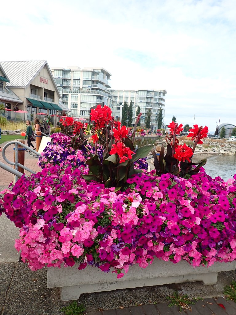
Be yourself; Everyone else is already taken.
— Oscar Wilde.
This is the first post on my new blog. I’m just getting this new blog going, so stay tuned for more. Subscribe below to get notified when I post new updates.
Pat and Jo Boating Adventures
Be yourself; Everyone else is already taken.
— Oscar Wilde.
This is the first post on my new blog. I’m just getting this new blog going, so stay tuned for more. Subscribe below to get notified when I post new updates.
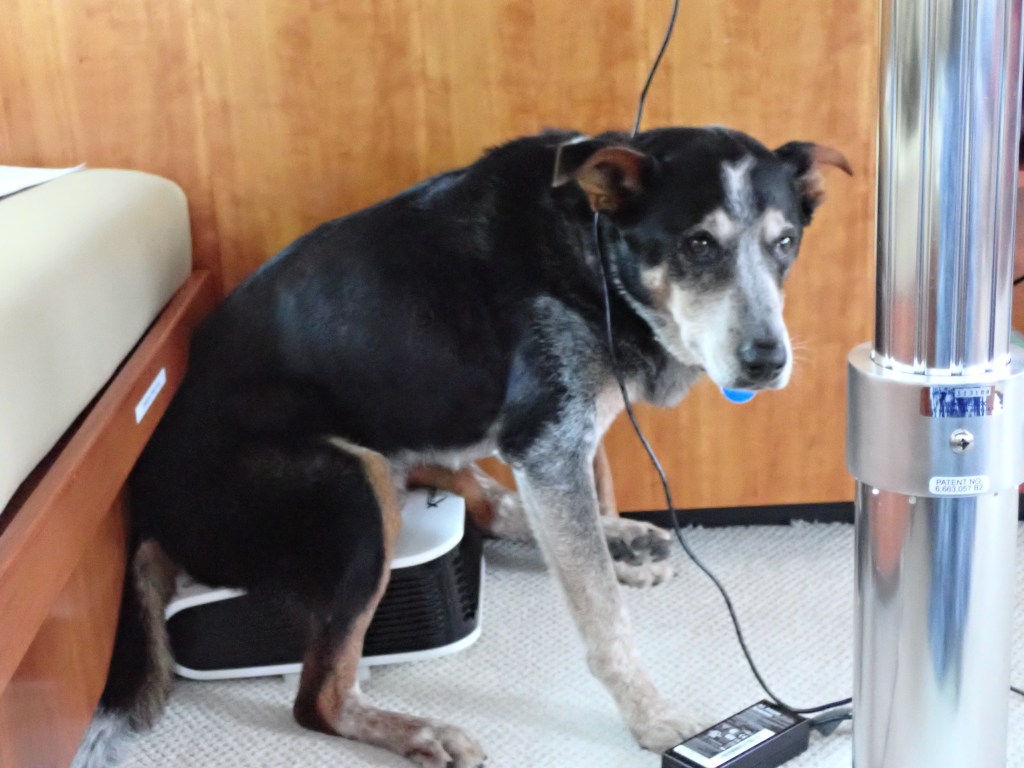
Pat woke me too early. Bailey had had another panic attack at 2:30 AM. We went to the salon, made a bed out of the settee, he got a 1/2 tablet of aceprotab, finally snoring, curled at my feet at who knows what time as my glasses were keeping Patrick company below.
It was clear and lovely at Port Ludlow. Foghorns voiced foreboding.
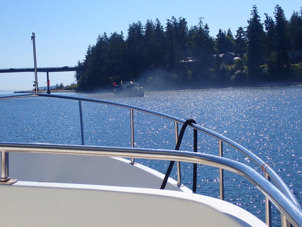
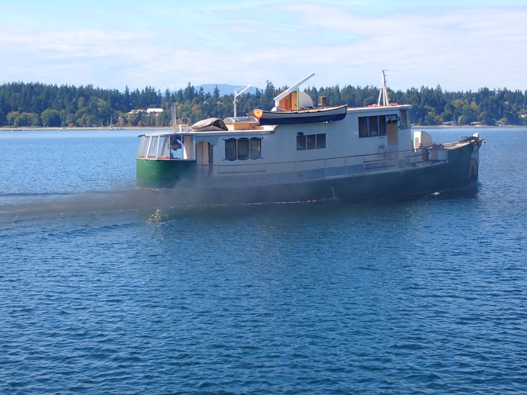
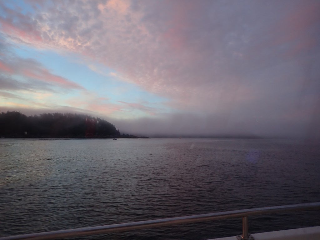
Creeping into Puget Sound’s dense fog, stress levels rose despite radar assistance. Crossing shipping lanes with the Coast Guard warning of quarter mile visibility is nerve wracking but at least the bigger boats are visible on AIS (Automated Identification System). South of Whidbey Island, the fishing boats were swarming like gnats, darting unpredictably on the radar screen, invisible in the fog. “Pat, do fishing boats use radar?” 😦
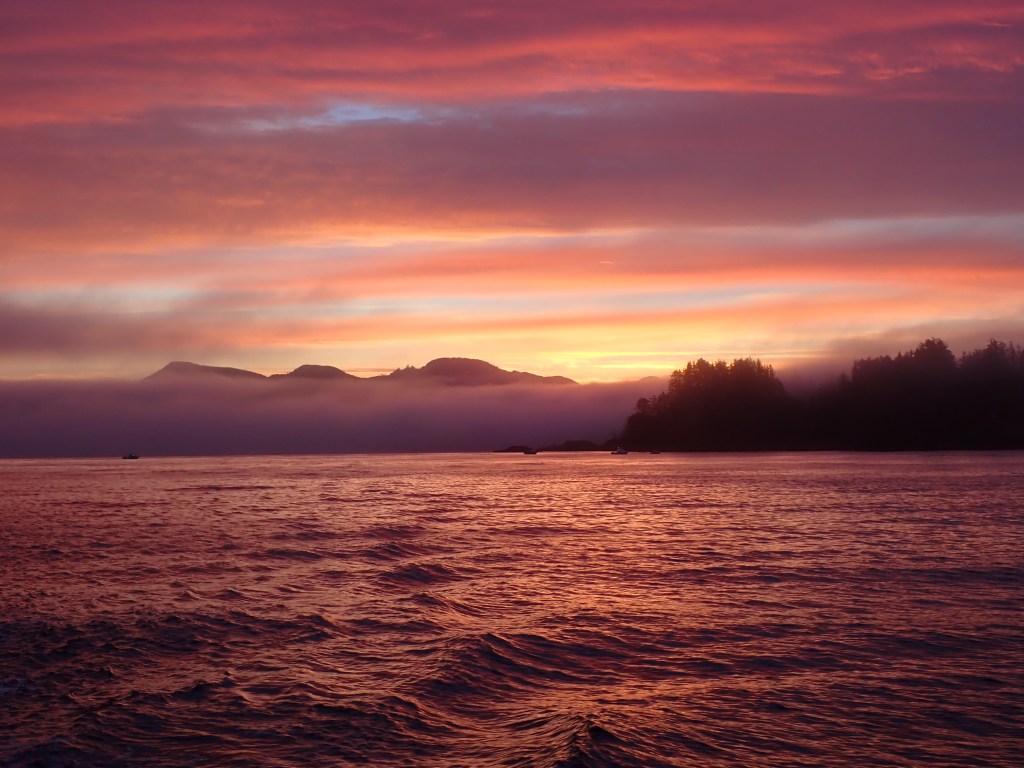
We made it past the Mukilteo ferry, whose captain had some choice words for some clueless gnats, with no collisions. Only then did the fog begin to lift to reveal a warm, calm sunny day in Everett. No wonder there were so many fishing boats out! Perfect weather for docking after a stressful morning. A perfect end to a wonderful vacation.
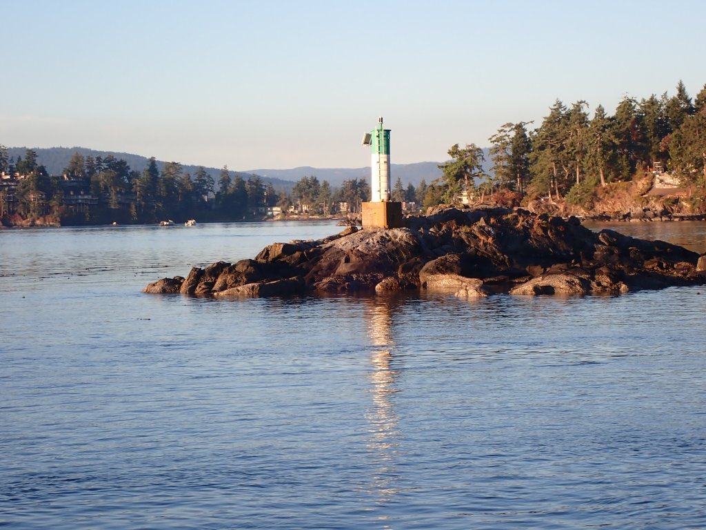
We beat the sunrise leaving Port Angeles but at least it wasn’t pitch black! This time running against the ebbing tide seemed to take forever. The tide turned as we rounded Port Townsend and we cruised towards Port Ludlow. We found the current running with us through Port Townsend Canal at 3 knots but couldn’t go through because of this:

While we were hanging out waiting, I noticed a big pile of kelp hugging the port side stern of Arcturos. Uh oh. Pat was turning this way and that, trying to keep out of “Pig Pen’s” way. The kelp was coming along for the ride. Pat tried backing up, turning hard the opposite direction. The big chunk of vegetation released and floated away. Yay!
The rest of the trip was smooth and we arrived in Port Ludlow by mid afternoon. Ready to get anchored after a long trip, we were called out by the harbormaster that this is a no wake bay, slow down! We did.
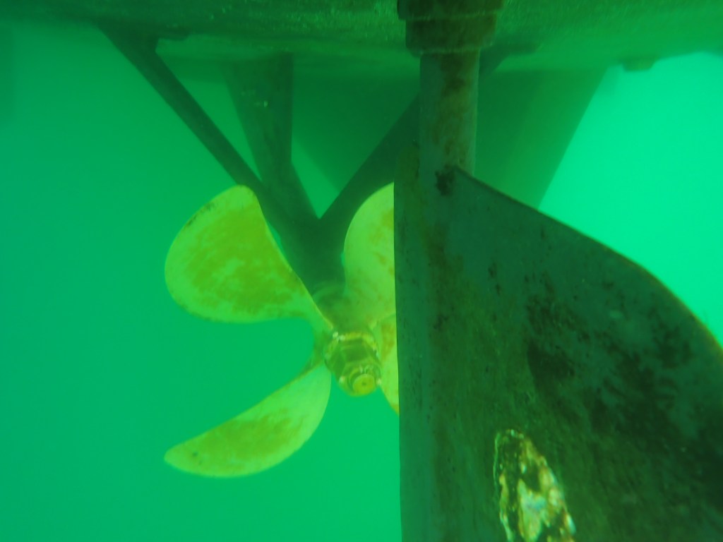
It was a beautiful, sunny afternoon for a last trip swim to Honor Ed but 1st I wanted to be sure the props were clear of kelp.
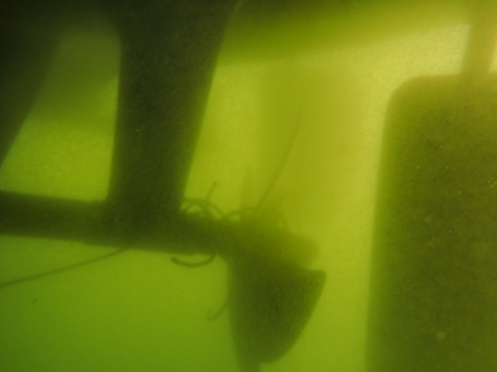
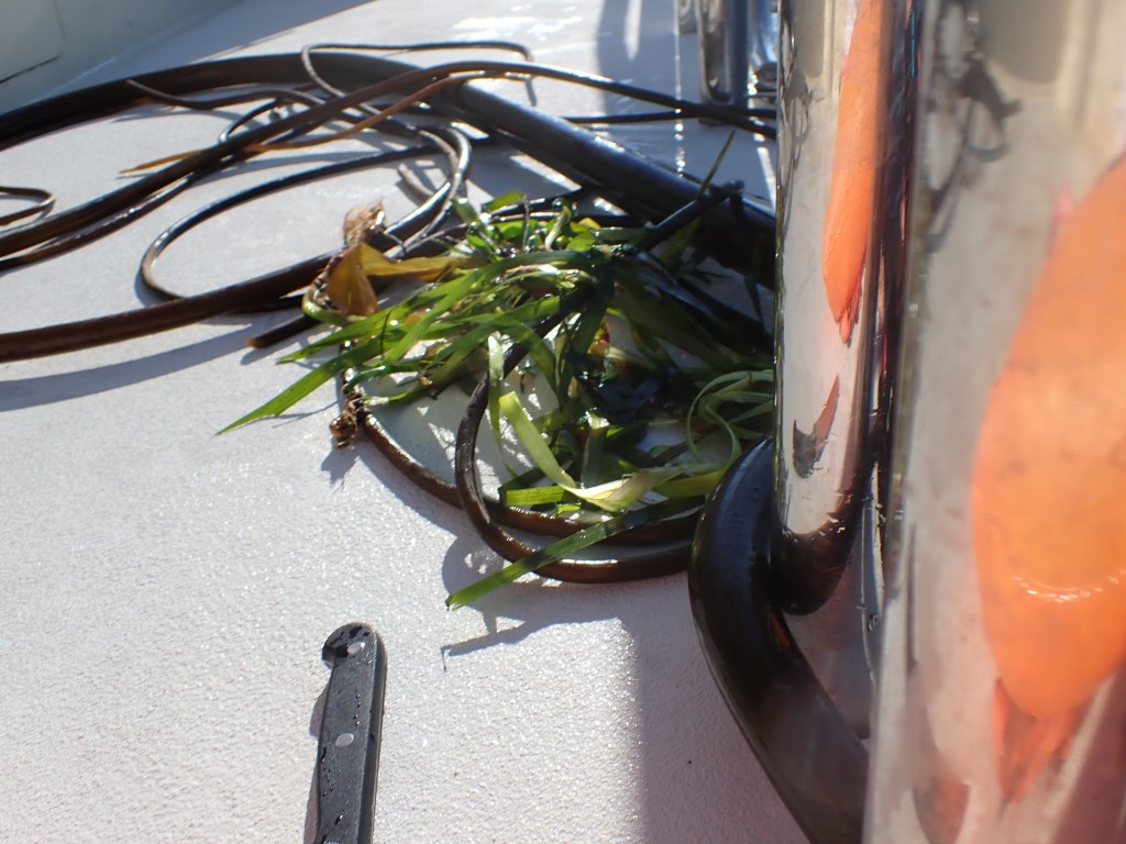
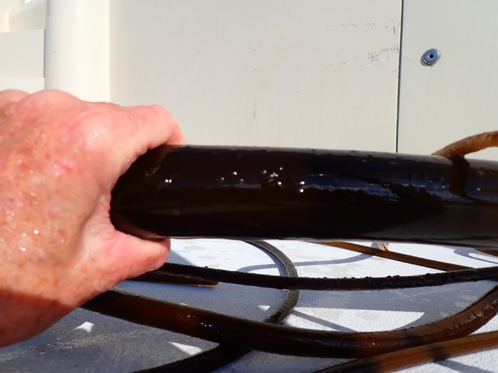
Well, we didn’t quite ditch the hitchhiking Kelp. It only took 2 dives to clear it off this time but do you see that piece of kelp heading to the left?
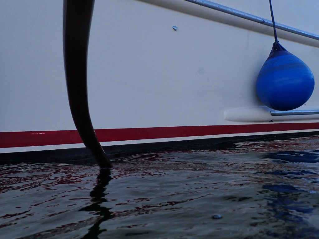
Roots and stems jammed into the cm of space between the Port side stabilizer and the hull. Pat got a knife for me.
I got a short swim in before dinner, grateful for 60 degree water.
A big thanks to my photographer friend, Nancy, who recommended Kenmore Camera to me in researching an underwater camera. It served us well this trip!
It’s been a couple years since we had to get back to the States from Canada. Our NEXUS cards had made it easy in the past but with COVID, Customs and Border Protection is not using them. Did we need to get tested for COVID again? We could find nothing new online so planned to call Customs and Border Protection (CBP) after crossing the border in the middle of the Juan de Fuca Strait.
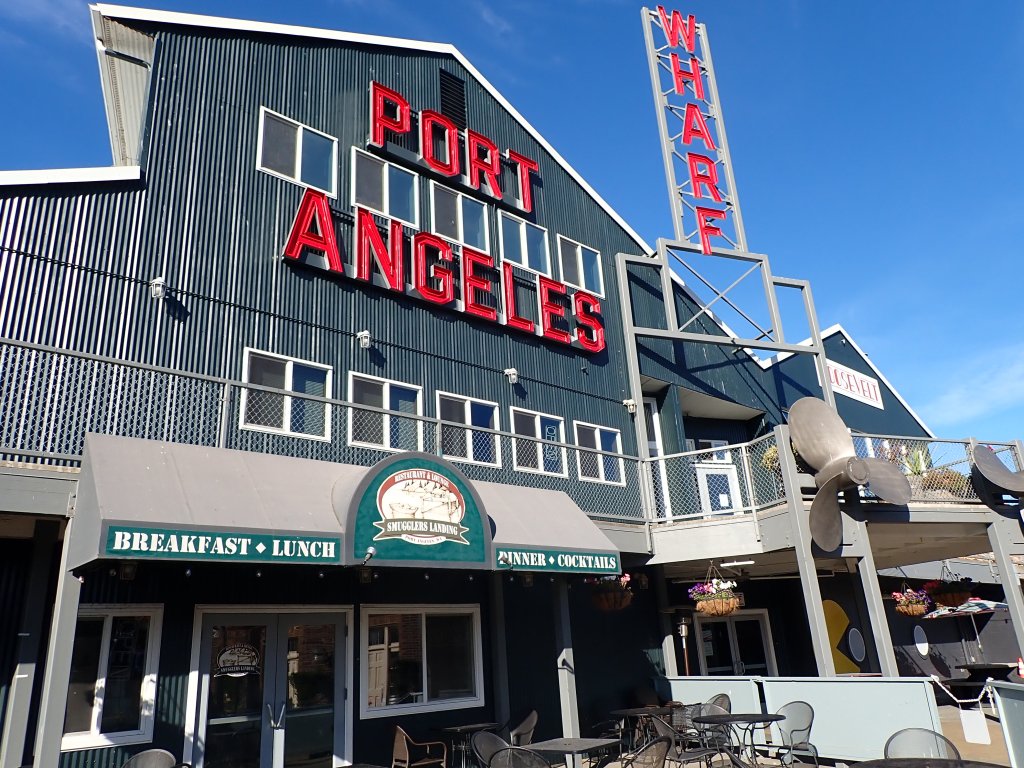
One of Pat’s goals for this trip was to take Arcturos to Port Angeles for an estimate on some repairs and improvements this winter. The company closes at 3:30 PM. The trip could take 8 or more hours. We were up at 5 AM, pitch black but for anchor lights, no moon, oh the stars! Navigation screens dimmed, radar on, lights off, Mary Jo watching outside in earshot of Pat, search light at the ready to point at anything concerning, we crept out of Tod Inlet at 5:45 and into a beautiful, calm, dawning day. Current with us the whole way until reaching the Strait.
In the middle of the Strait, time to call CBP and time for Pat to call the boat repair company, “Platypus”. Officer Smith asked me to download the ROAM app, complete and send it. After some bumbling around, several dropped phone calls and a video call they finally agreed to take us back into the US. Whew!
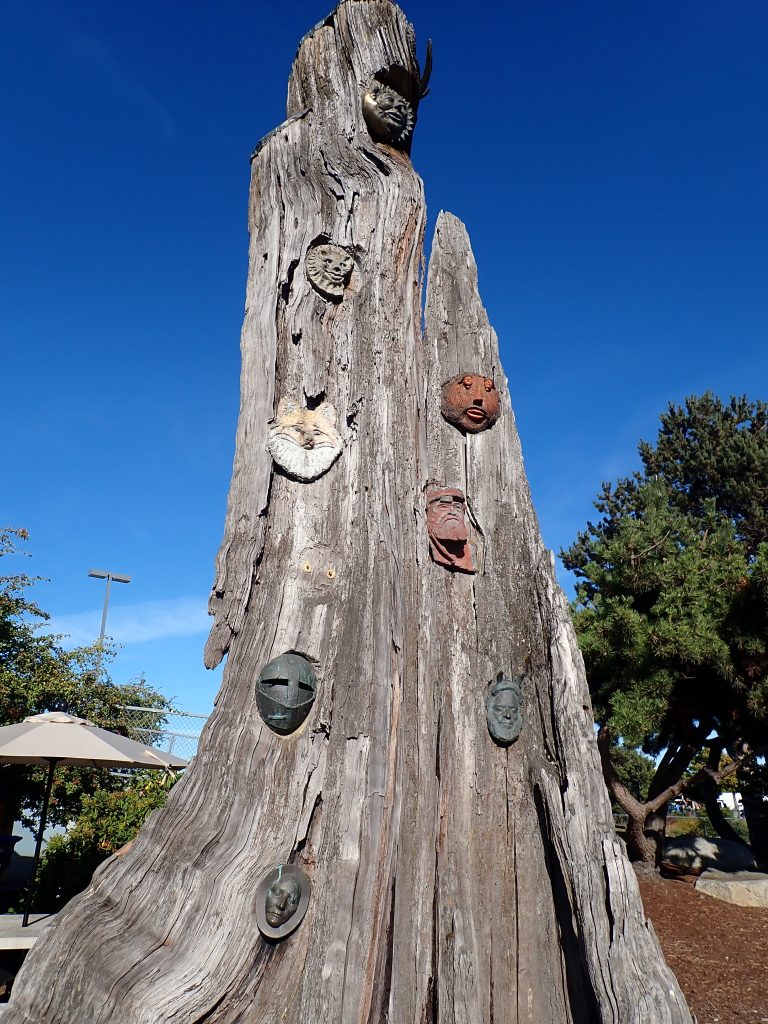
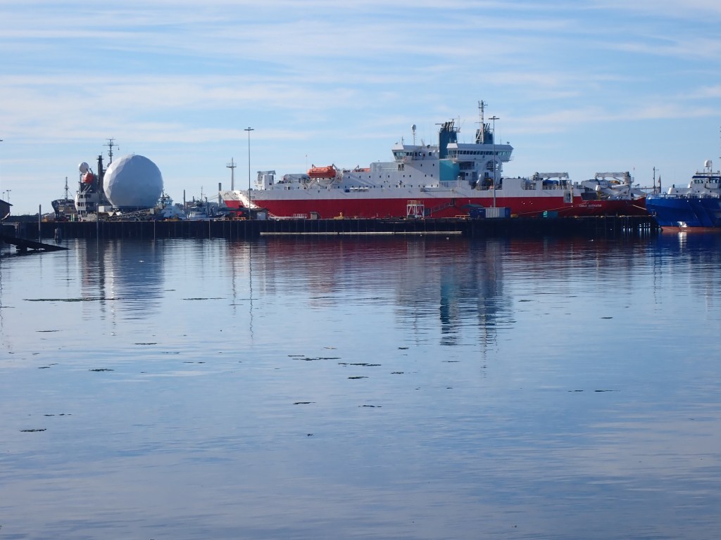
We were in the marina before noon! Platypus was ready for Pat’s call. Two interviews and boat tours later, mission accomplished! I was able to explore the Port Angeles’ waterfront “trail” starting with 4 blocks through the Marine industrial complex on busy Marine Drive. But then the route diverts from the road and becomes more pleasant and interesting.
We almost got here 3 years ago. But that day, only a couple miles away from Tod Inlet, the engine room was heating up past 190. Pat, laser thermometer in hand, found one of the Stuffing boxes overheating. The stuffing box is the hole where the drive shaft exits the engine room through the hull of the boat. In the old days, this hole was stuffed with greased rags to keep water from leaking in from around the rotating shaft, thus the name Stuffing box. We stopped the boat, floated for awhile, reached a mechanic in Mill Bay who advised us to back up the boat to force water towards the shaft to cool it down. It worked! We payed him a visit, made it home & aborted the rest of the trip.
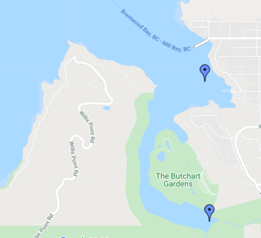
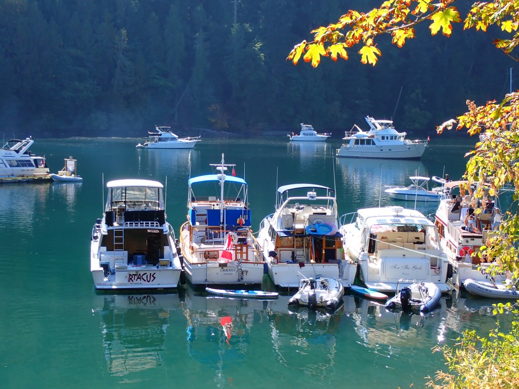
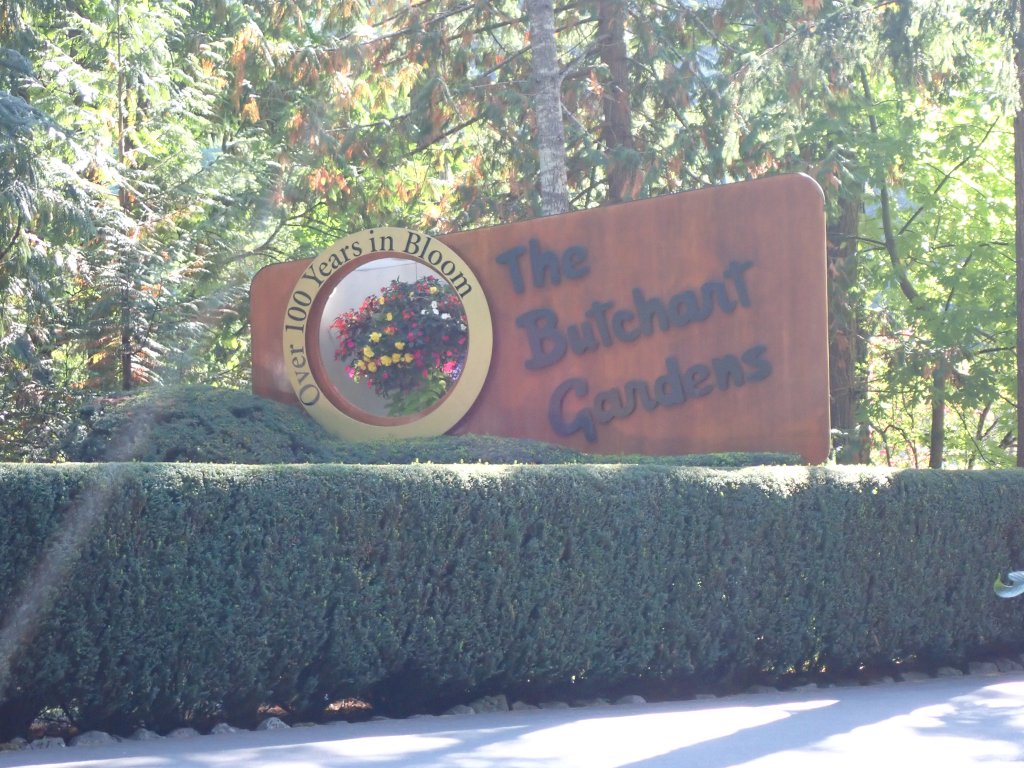
So we decided to give Tod Inlet a second try. Only a few hours from Sydney, the inlet snakes off of Saanich Inlet within walking distance of Buchart Garden and abuts a Provincial Park.
This was Monday, the last day of Labor Day weekend, celebrated by Canadians on the same day as in the US. Encouraged by boats exiting the inlet, heading for home, we dared to imagine a quiet peaceful cove….hahaha! NOT!
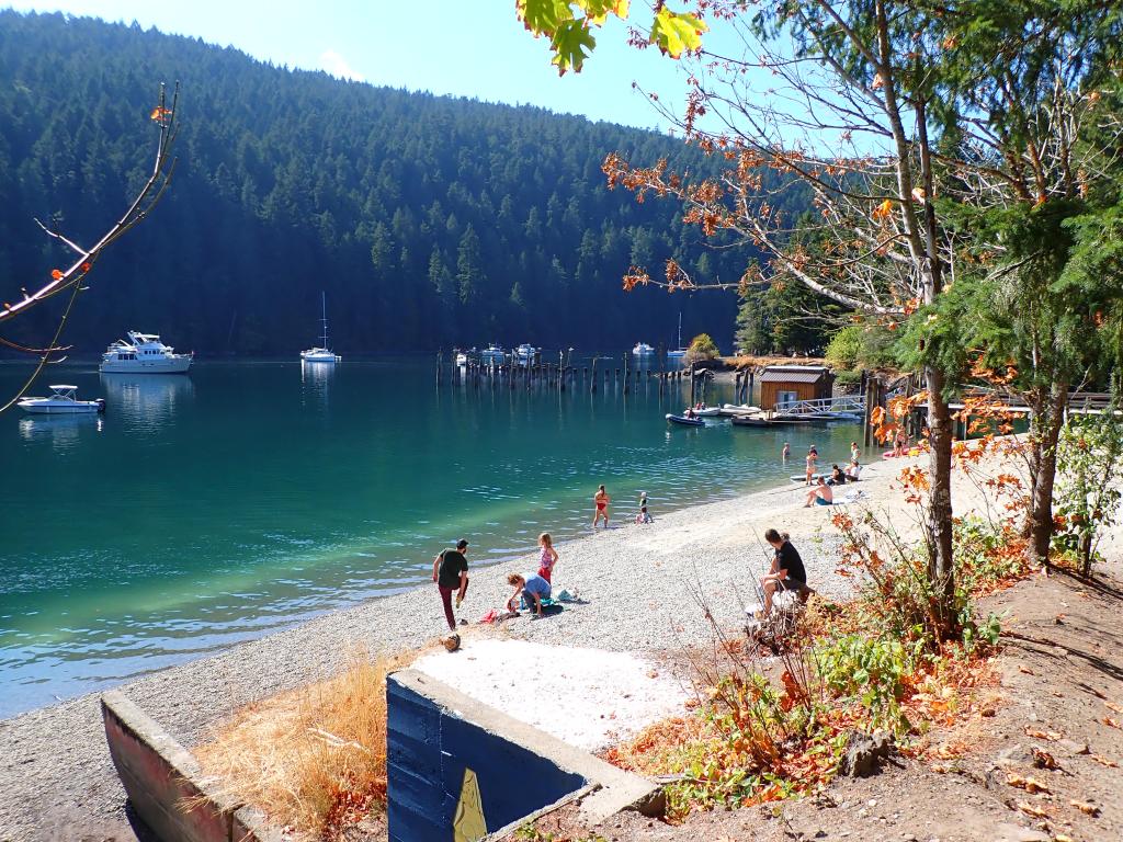
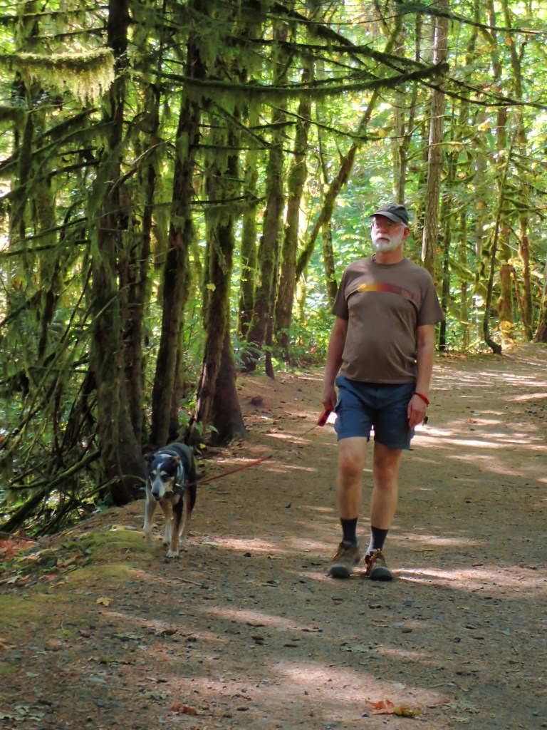
A trail led us through the woods along the inlet & creek to a road, past Buchart Gardens and back to the park. 1.6 miles or so.
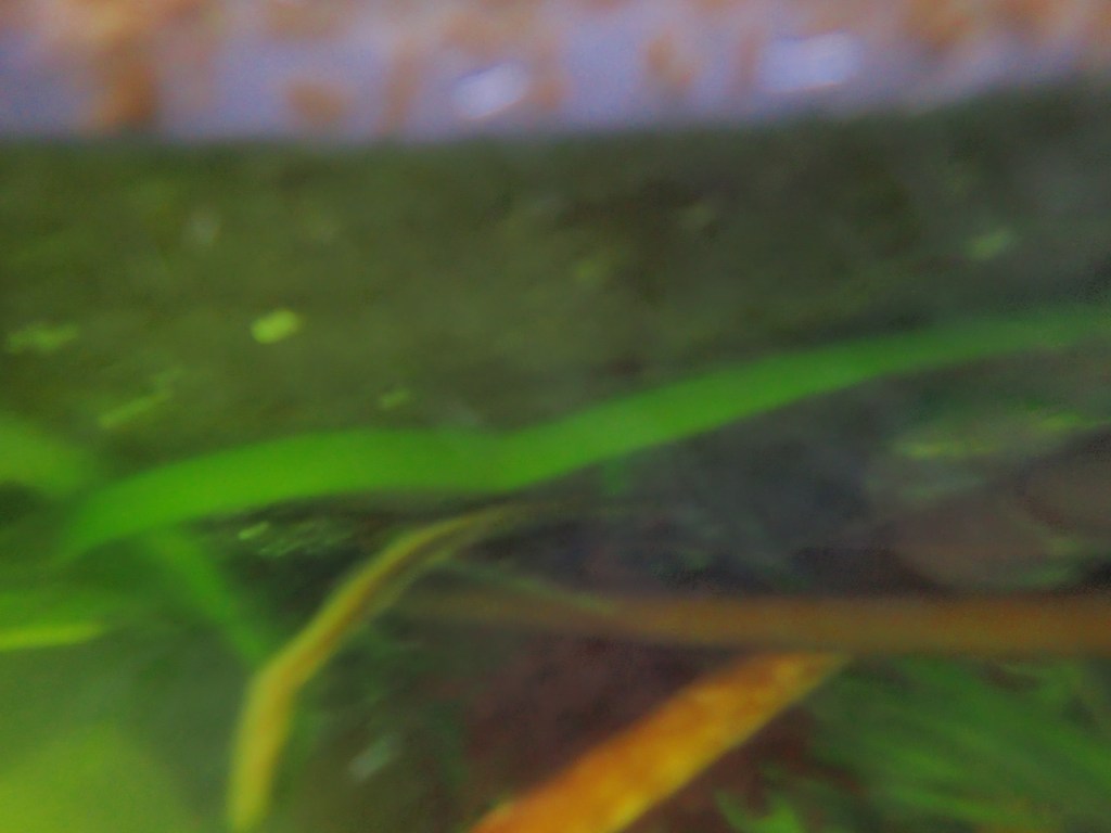
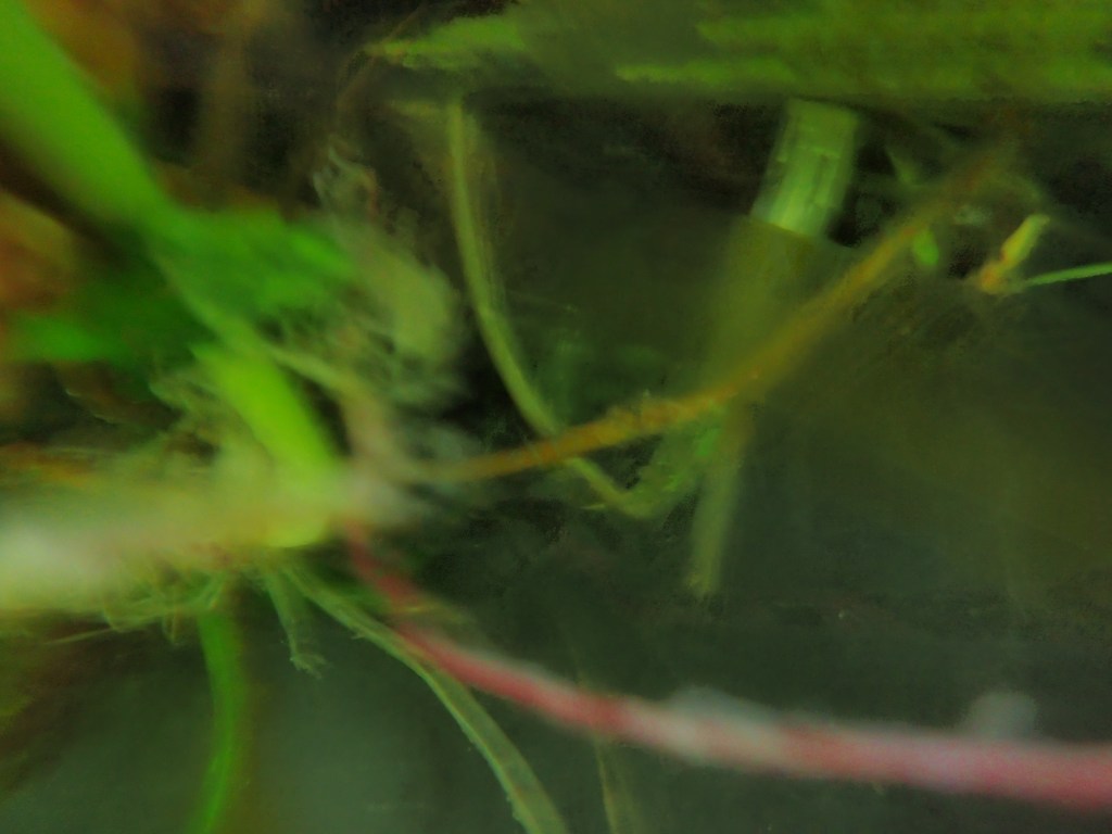
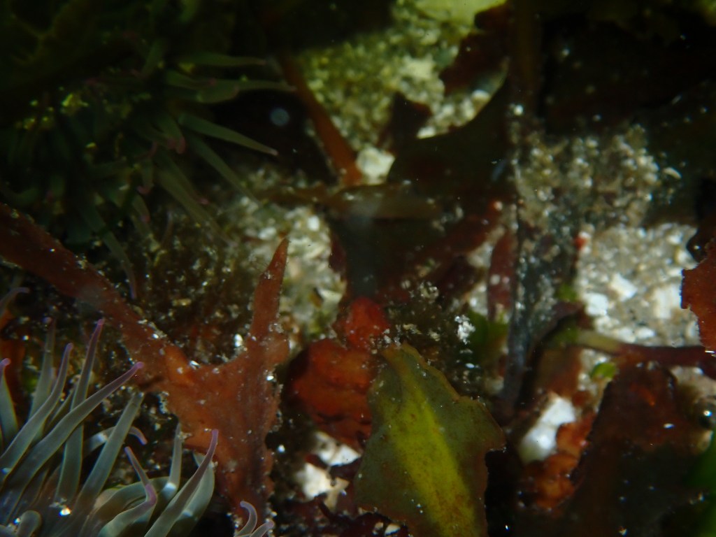
I had not slept well the night before worrying about a chore Pat asked me to do: swim under the boat to see if there was any kelp wrapped around one of the props. No time like the present. We returned to Arcturos, got ready for a swim with my new underwater camera. Water temp was 5 degrees warmer than in the Sound and Pacific! At 1st glance I thought there was a bunch of bright green kelp and seaweed stuck to the bottom of the boat.

The inlet had become less active by then, so had a very nice swim up and down the shoreline to celebrate having that chore over and done with. It was a quiet night. Still many boats. Everyone slept well.
The only exciting part of this leg of the trip was having to cross the shipping lanes. Just after passing Victoria, we found ourselves on the wrong side of the lanes with two huge ships chasing us. Pat was running bow to stern and back trying to figure out what they were up to. Could we cross in front of them? Or did we need to wait for them to pass? We waited. Then they slowed down! Pat could see on the Navigation charts a boat speeding towards the 1st ship, pulling alongside it and matching the ship’s 4 knot speed. These were commercial ships coming into Canadian waters. We surmised that they were taking on a Canadian ship’s pilot before proceeding. Probably we had plenty of time to cross the shipping lanes but no need to risk a monster with a bow wave taller than our boat running us over. We followed them up the channel towards Sydney. Sorry, no pics!
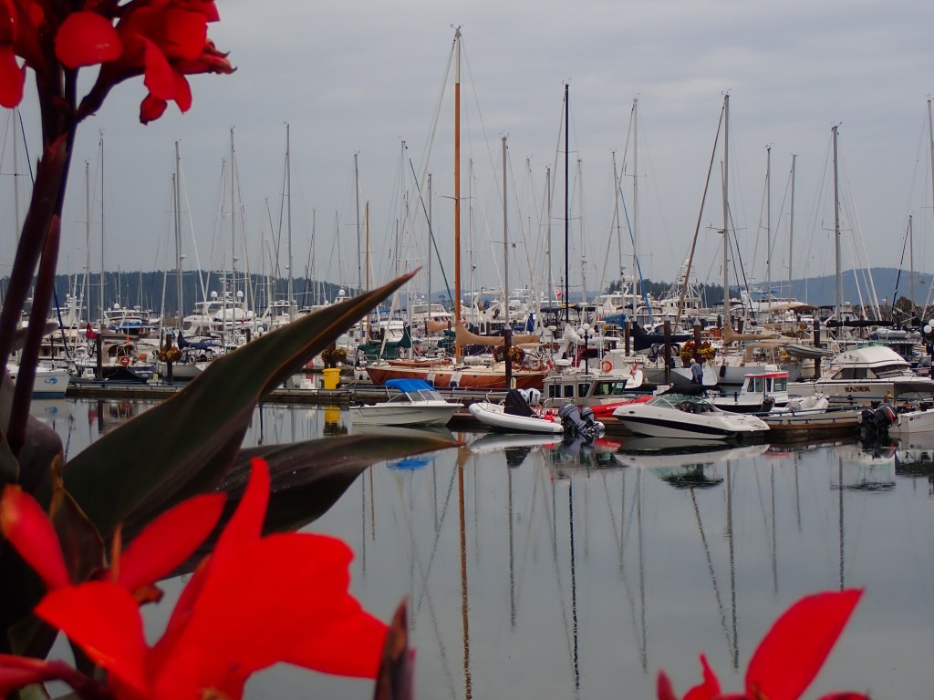
We called early for reservations at the Port of Sydney. Didn’t hear back so called a private marina up the coast and got a reservation right off the bat. Now the entire reason for going to Sydney is the bakery. The very same bakery that Patrick frequented as a wee child from his Dad’s cabin cruiser has survived COVID and the line is 1/2 a block long, Of course we were not arriving in the morning which is when you have to go to a bakery. Just as we were about to pass Sydney, my phone rang! They had a spot for us and they allowed us to stay for 2 nights just so we could get to the bakery.
OK that’s not all we did in Sydney. We enjoyed stretching our legs on their 2.5 kilometer walkway along the coast from the Marina, then there’s the laundry, vacuuming dirt and dog hair and cleaning up the boats after almost 2 weeks, etc, etc. And across the street from the bakery was a fabulous Indian Restaurant. So you see, we needed that 2.5 km walk!
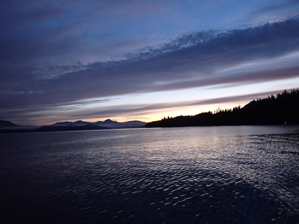
Pat woke at 5:30 AM. Still dark, we quickly prepared to depart following a fishing boat out of Bamfield Inlet by 6 AM, a beautiful morning so far!
We only really needed the radar for an hour. The rest of the day we traded “driving” every 2.5 hours or so, and were outside of Sooke in about 10 hours. Deciding that the tides and currents were not favorable to enter and exit this challenging harbor on our schedule, we studied the guidebooks & went an extra hour to Campbell Bay, tired but glad for a protected spot.
Outside of Port Renfrew, we got a show by a humpback whale, rolling, breaching, slapping. Too far away for good pictures, we traded off using the binoculars. 2 more whales came along in the next 30 minutes, not as active but very fun!
I had given Bailey some drugs, knowing it would be a long difficult trip for him and was glad for it though sad to see him anxious still.
We had never heard of Campbell Bay. There is only room for a couple boats but there is a private marina outside of a mobile home community close to where this picture is taken. After arriving, we took the dinghy to a small sand/rock beach. A trail/trails lead up to the rocky outcropping at the head of the peninsula with views across the Strait and eastward. The sun shone through the clouds over vibrant green arbutus trees, limbs hanging with Spanish moss, clinging to but thriving on their rocks. We encountered several dogs leading their owners down the trail. We had landed at East Sooke Park. Who knew! The trail apparently starts near the marina, explores the point, then wanders several miles along the West coast of the peninsula. Another wonderful spot to explore more in the future.
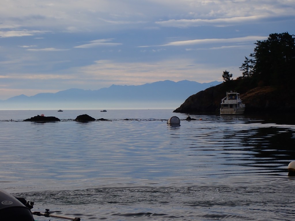
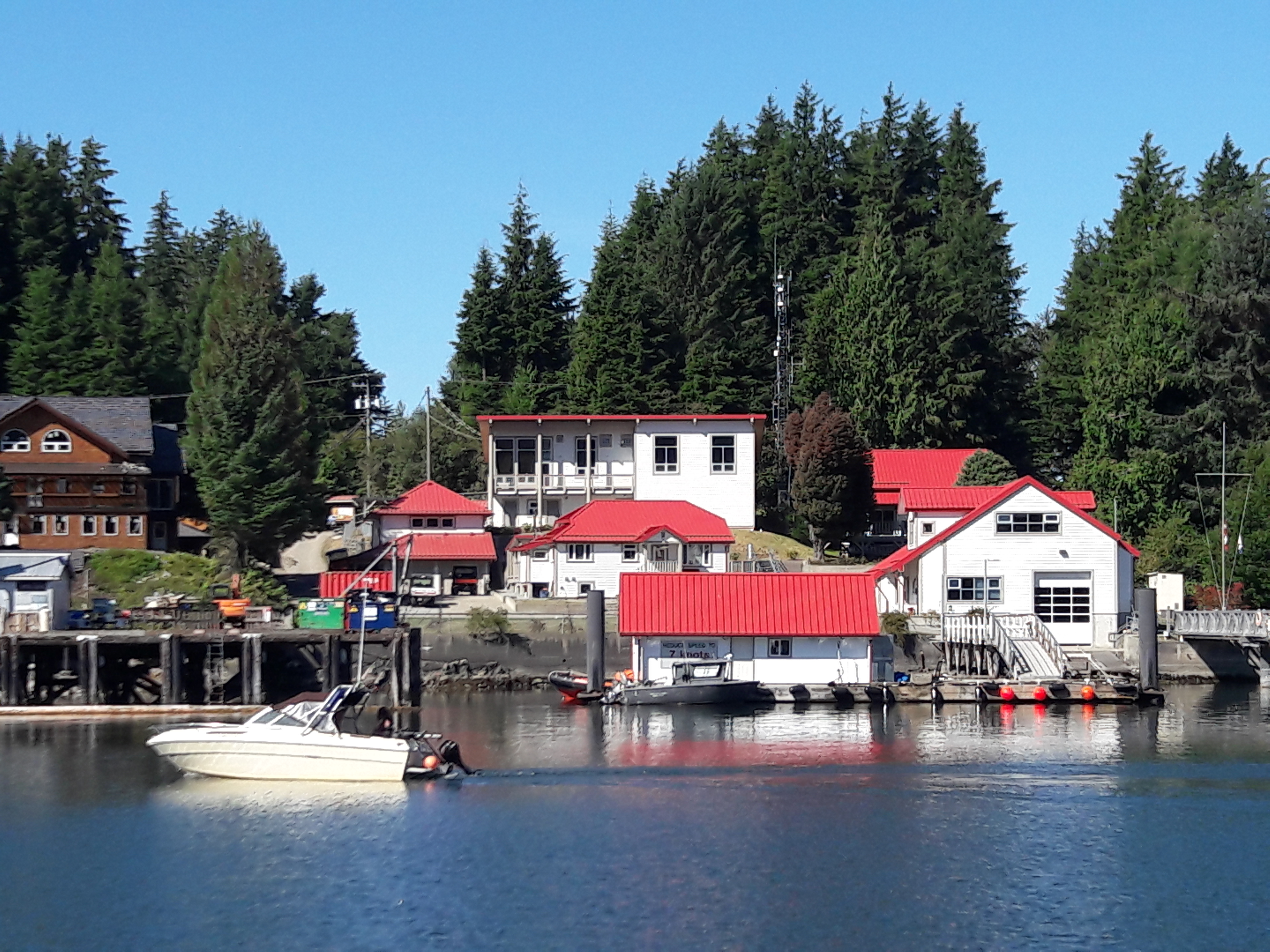
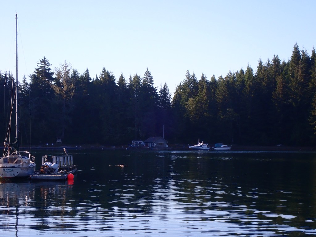
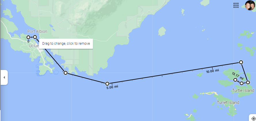
The perfect place to start our trip back down the West Coast of Vancouver Island, Bamfield is a funky town, split into East and West by Bamfield Inlet, only boats connecting the two. A quick trip up Trevor Channel from Robber’s Passage, the 1st thing that strikes you on entering Bamfield inlet is the beautiful red roofs.
We anchored at the end of town, enjoying the sun, watching dogs playing, jumping in the water, sea lions thrashing, throwing fish parts, seagulls screaming for their share, sea planes roaring off in close quarters, the Frances Barkley, unloading at the East Bamfield dock, fishing boats coming and going until we finally got going ourselves.
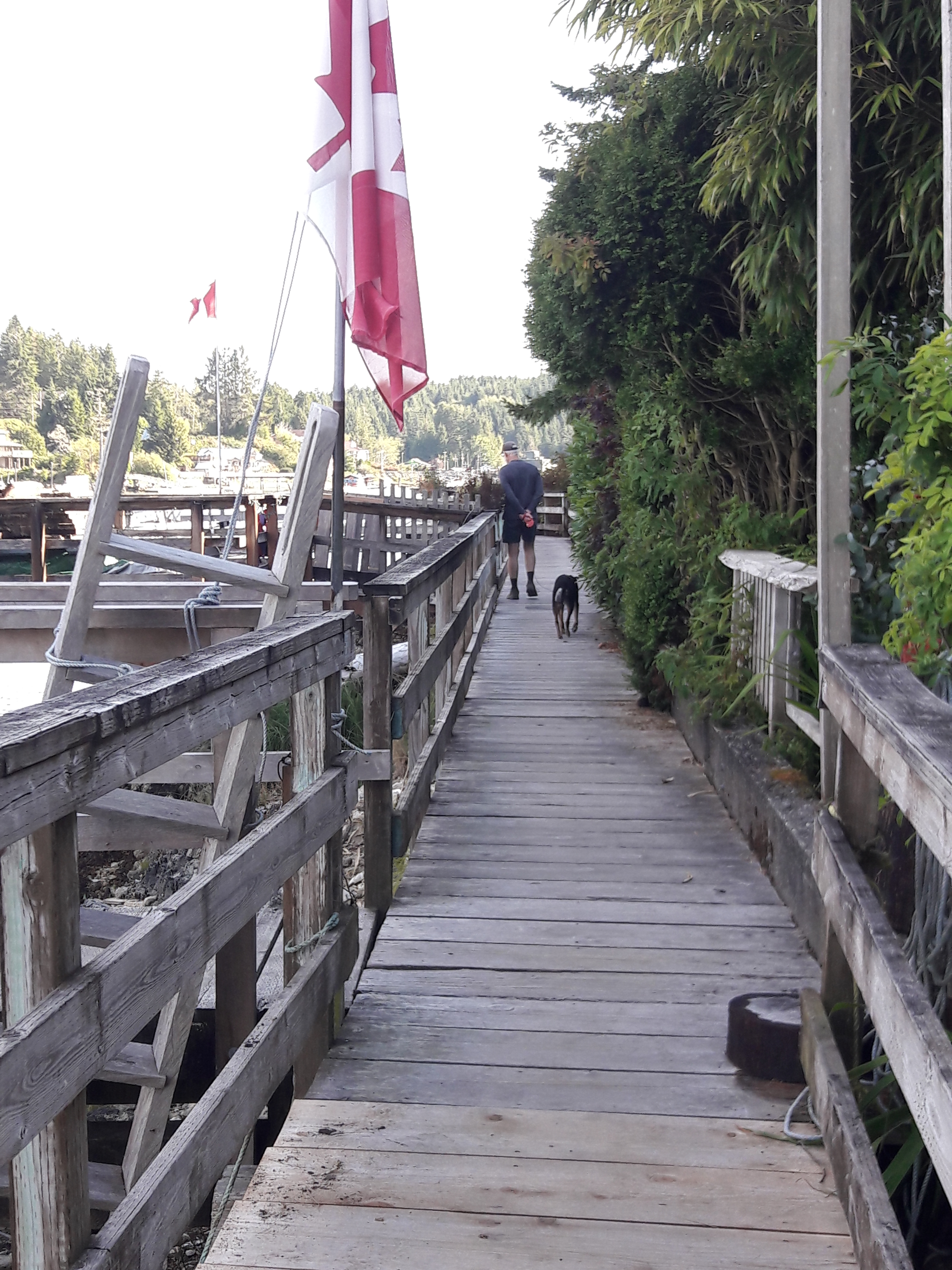
We finally found the boardwalk.
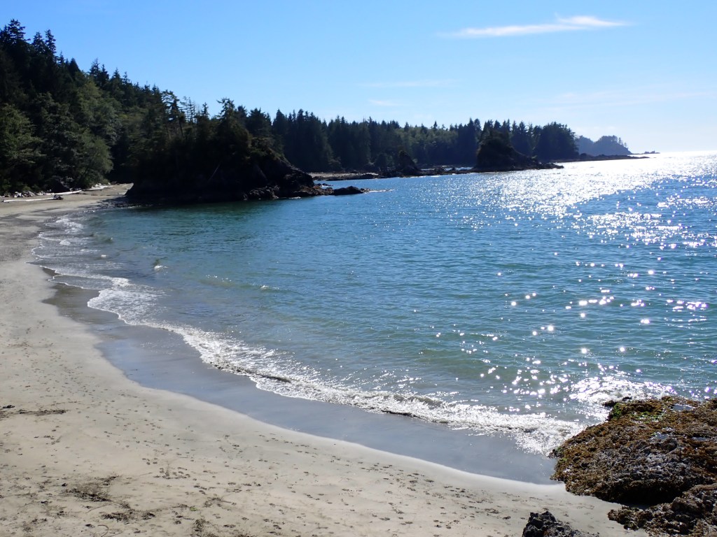
We also decided to walk to Brady’s Beach with more fun along the way.
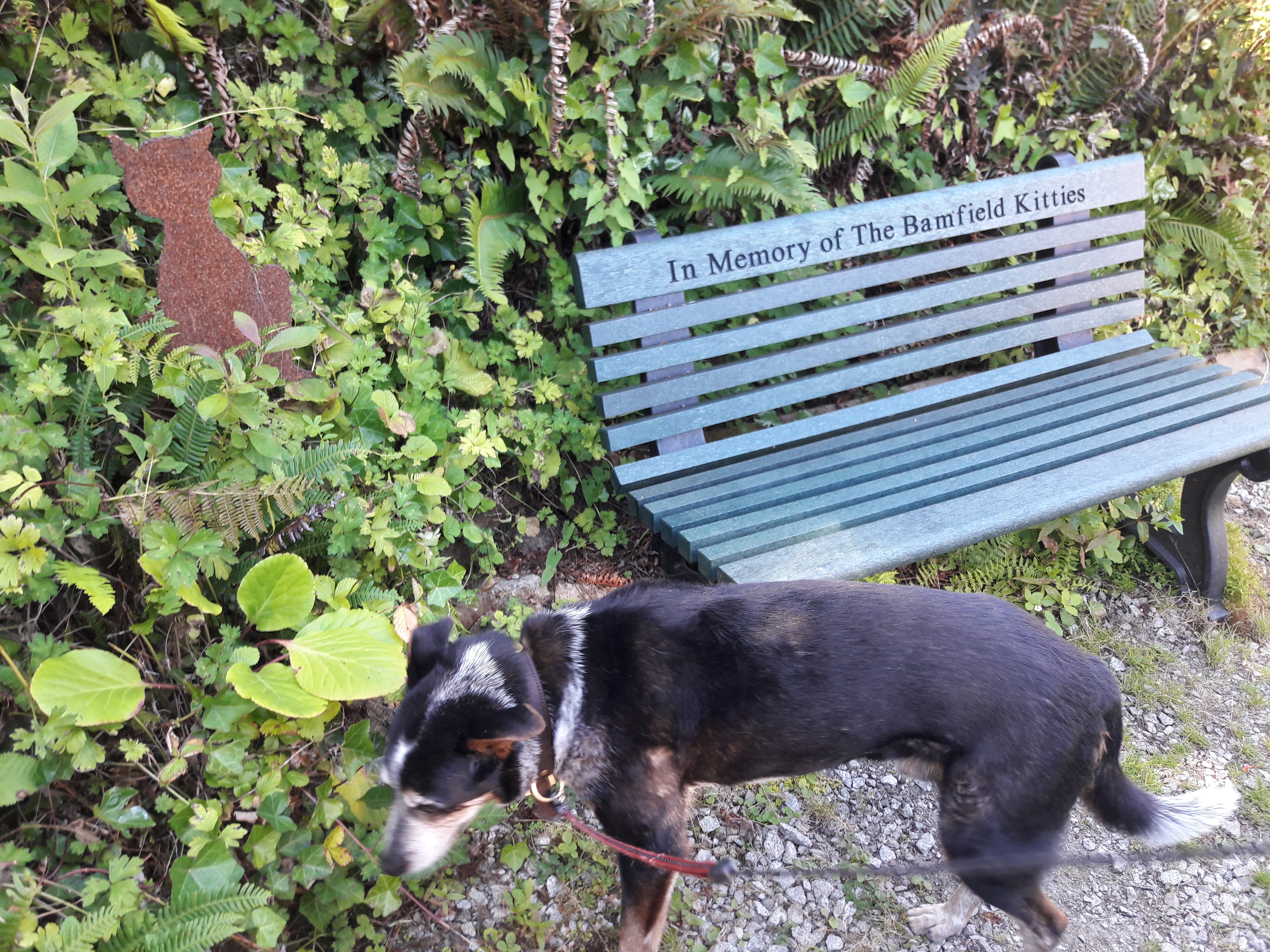
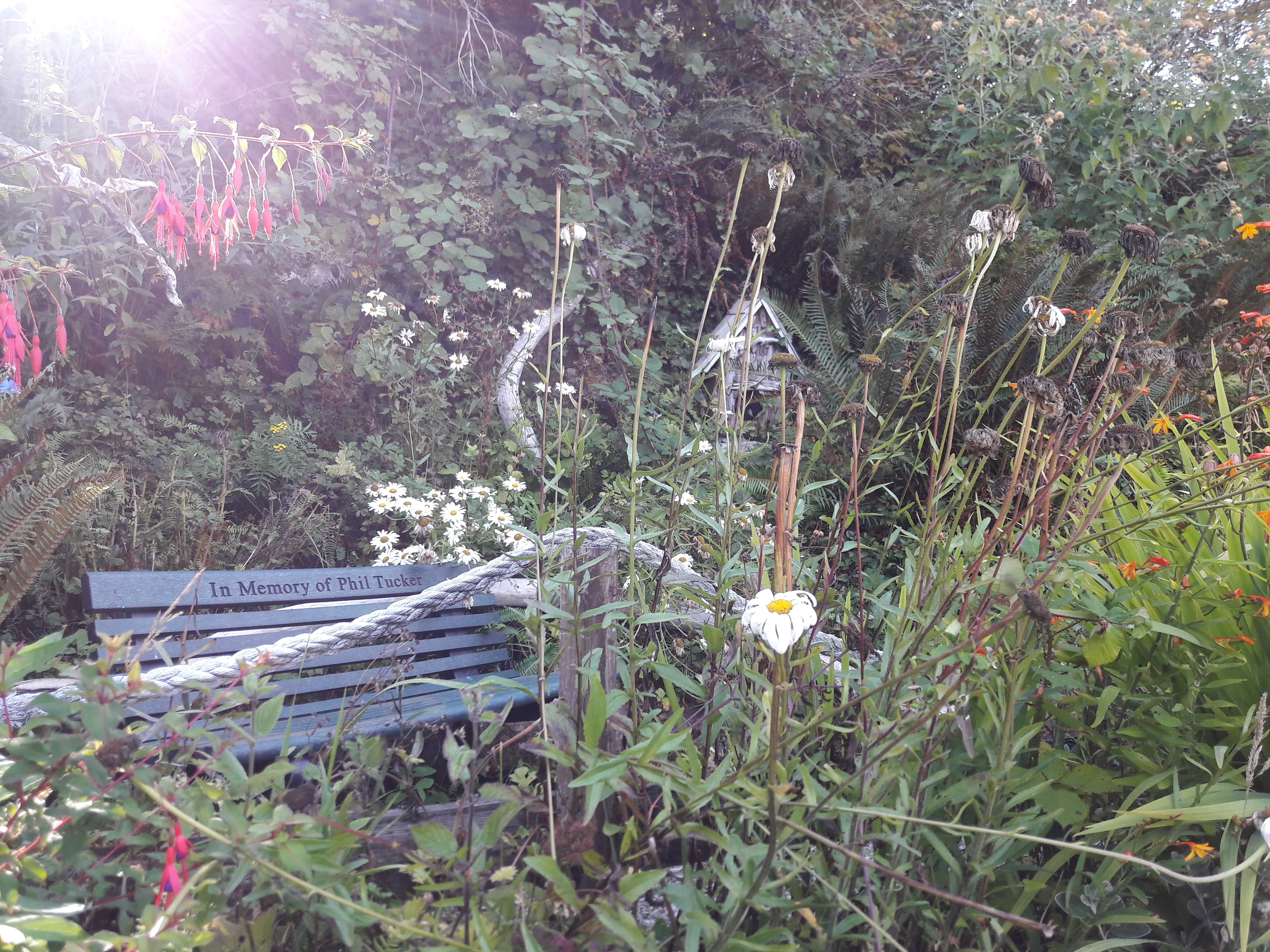
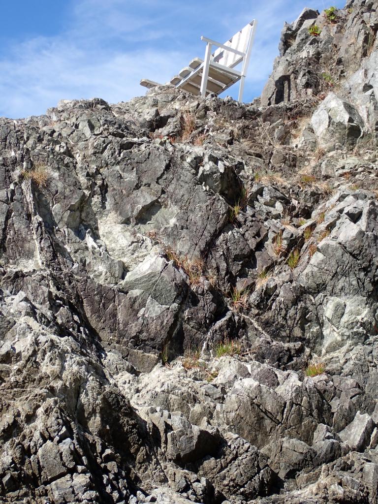
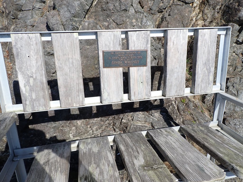
And finally, long white sand Brady’s Beach with views to the ocean and Trevor Channel from a memorial bench high on a rock.
We returned to Arcturos happy, at peace and ready for salmon cakes, grilled vegetables, smashed potatoes with gorganzola, buttermilk dressing drizzled with hot sauce and freshly baked chocolate chip cookies, ready for a long trip back down the coast in the early morning.
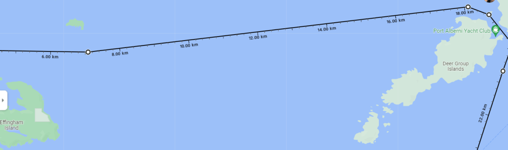
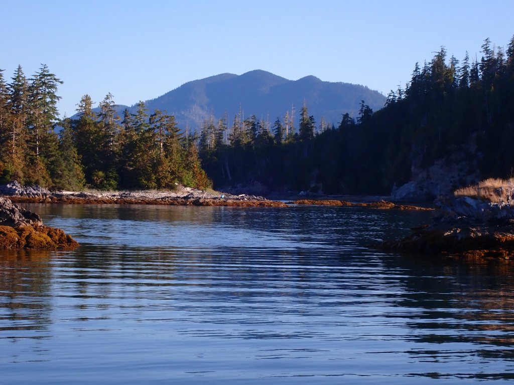
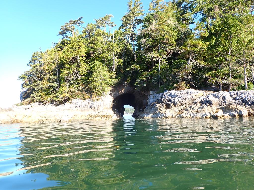
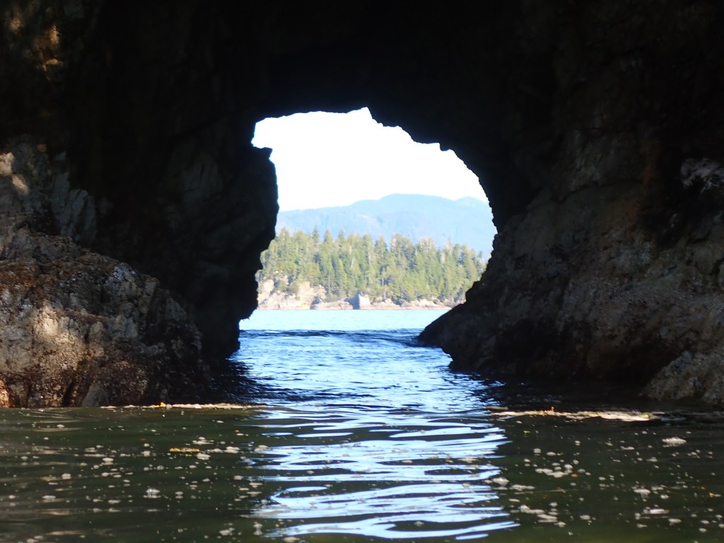
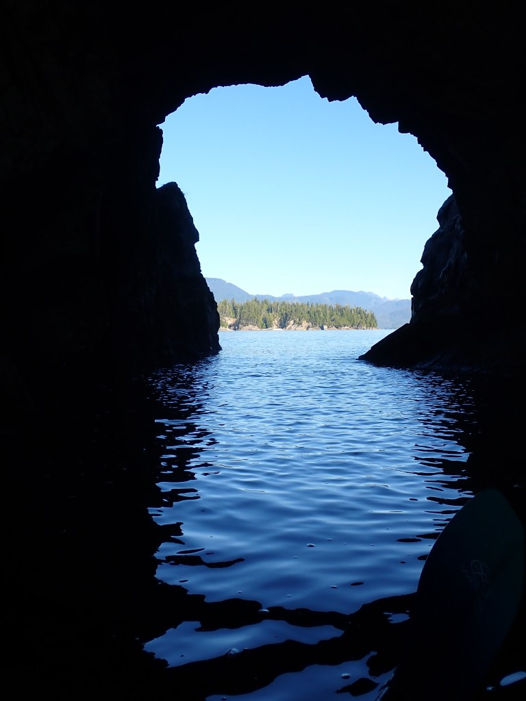
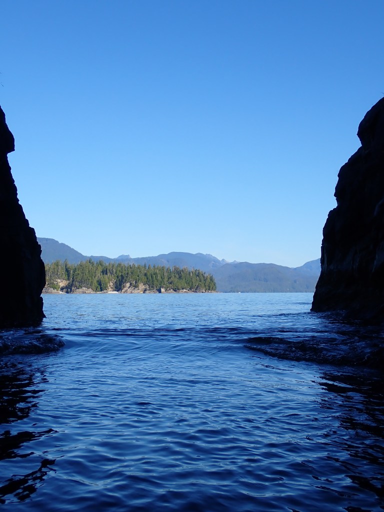
Arriving at Robber’s Passage via Imperial Eagle Channel, (love these names!) we found an empty, fairly protected anchorage on the NW side of the passage. Exploring by dinghy due to whipping waves and wind, we stopped by the Port Alberni Yacht Club’s outpost on Tzartus Island, who welcomes paying visitors if not busy or a holiday, then took a short walk on the Yacht club trails to view Trevor channel on the other side of the passage. Next task? Finding the Robber’s hidey holes! Very fun but forgot the camera and wasn’t safe to take the dinghy through the cave. On arriving back at Arcturos, we discovered our anchorage was a bit too shallow for the 3:30 AM low tide. Moved a bit and slept soundly with the anchor alarm on.
Then it was off to Bamfield on a beautiful day with no fog. Just what I had ordered for my birthday!
Not far from the Ucluelet channel are some favorite Islands for kayakers. Benson and Clark Islands, last stop before the Pacific. Pat agreed to hang out at anchor while I kayaked to Clark for a swim where many kayakers camped and paddled off of the white sand beaches.
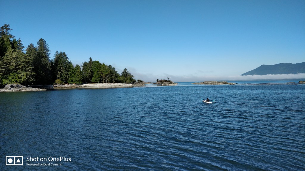
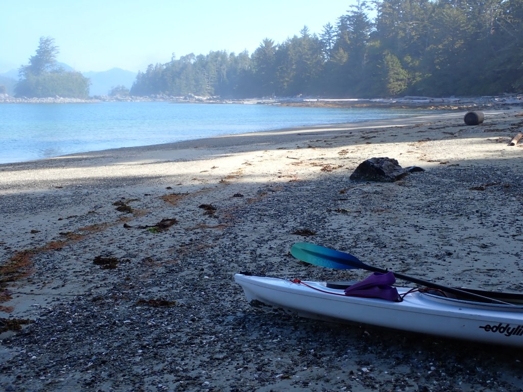
Water temp 57.2, Through kelp beds, then white sand/shell beach between rocks to peek at the Pacific Ocean fog, I paddled to shore and beached the kayak for an exploratory swim. A very shallow beach, I found the white sand to feel warm through my neoprene gloves and enjoyed striking colors around the rocky outcrops. The more serious swim was getting back to the kayak against the current. Back at the boat, I capsized the kayak trying to get onboard thankful for the wetsuit!
Pat headed for Robber’s Passage as I warmed up.
2 days at Ucluelet and I am just figuring out how to pronounce it or even think it, consistently. you-clue’-let. We were fortunate to be able to get dock space at the Small Boat Marina here. The harbormaster moved some boats around then helped us squeeze in as the wind blew us away from the dock. The marina caters to sports fishermen and commercial fishing trawlers.
It was nice to have 50 amp power so as not to have to run the generator for heating water and cooking on the stovetop. After several days at anchor, the boat batteries were also taking an exceptional amount of time to charge above 85%.
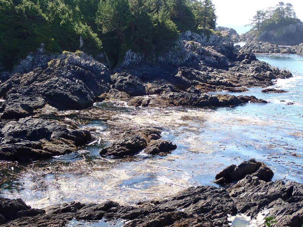
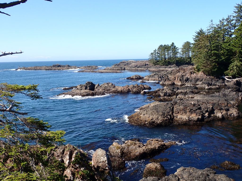
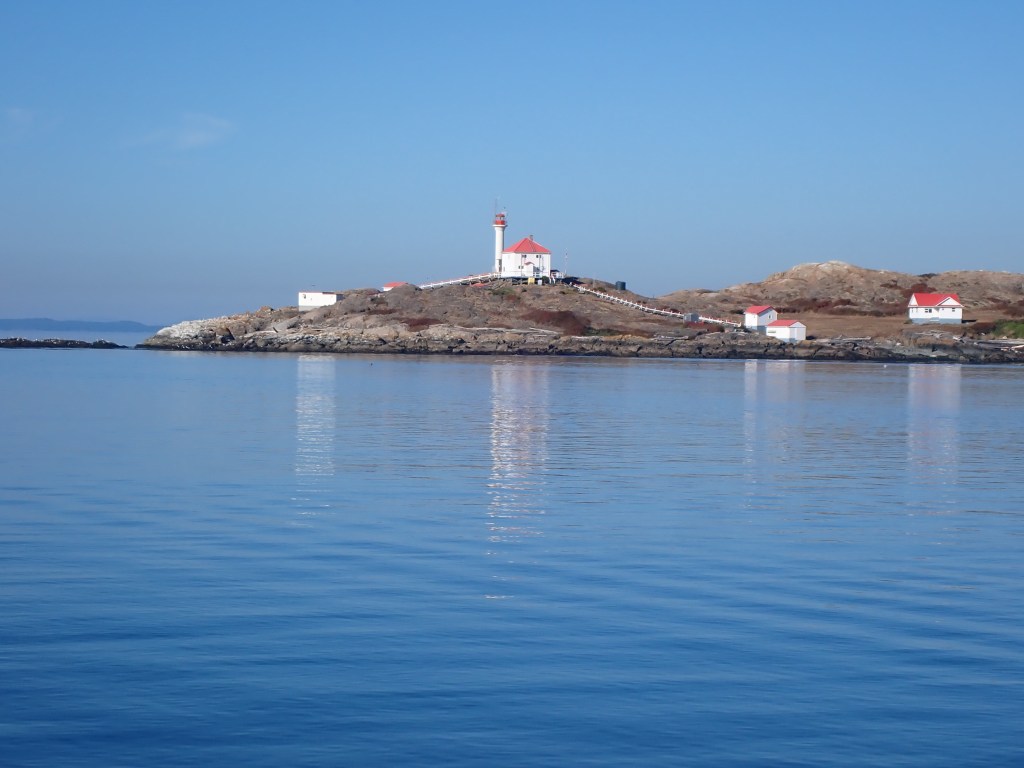
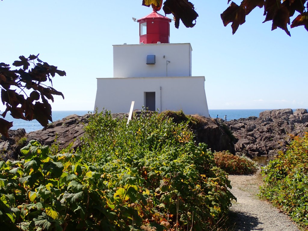
The main road in Ucluelet runs the length of the Peninsula to the Amphitrite Lighthouse. The original 1906 wood framed lighthouse was built after the 1905 wreck of the Pass of Melfort on the reefs of this peninsula. That lighthouse didn’t last long, destroyed by a winter storm in 1914. The current house was completed after a herculean effort by March 1915, and finally electrified in 1988.
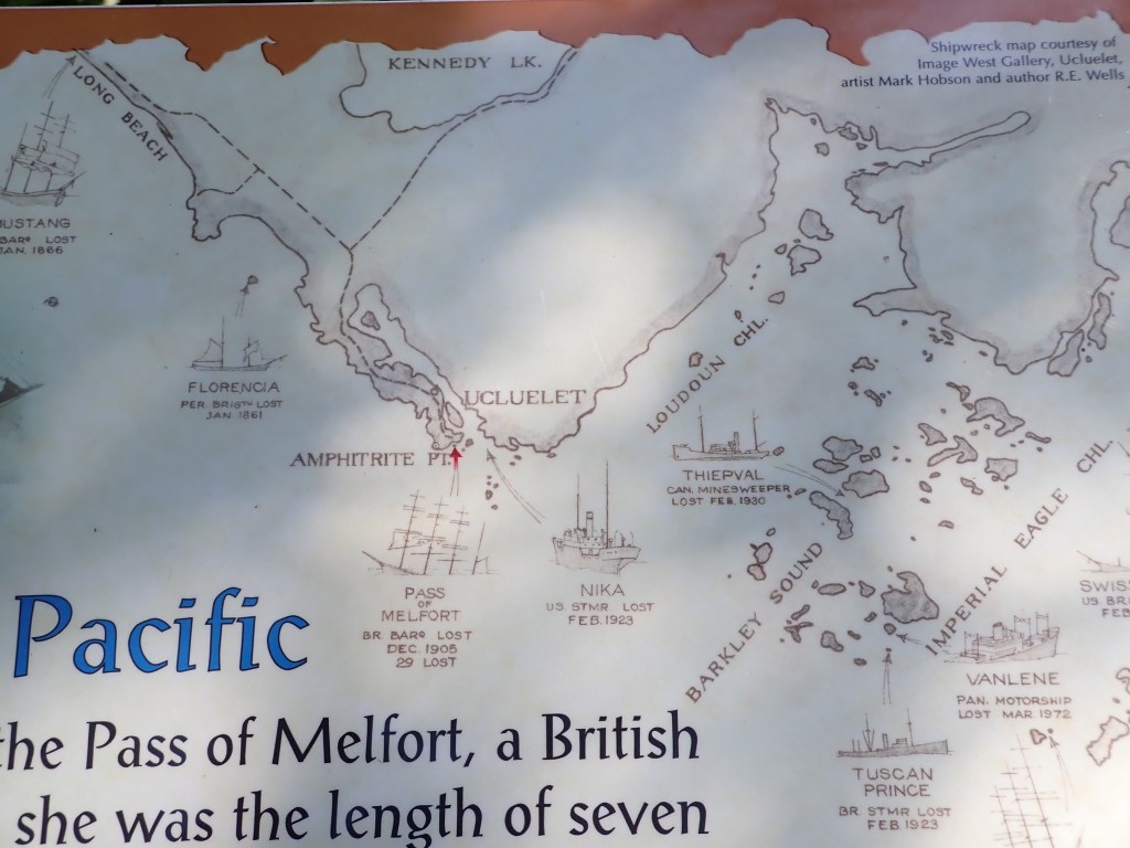
The West Coast of Vancouver Island is known as the Graveyard of the Pacific for good reason.
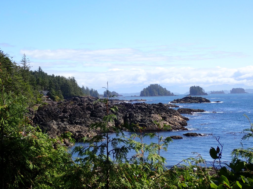
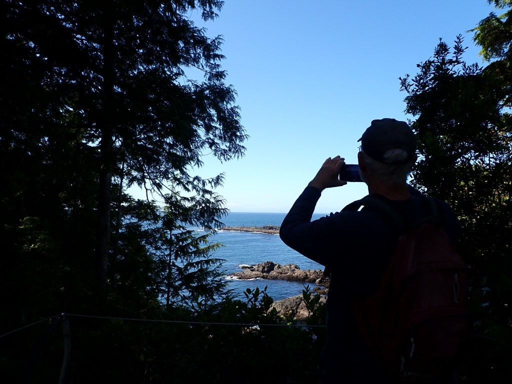
We would love to return to Ucluelet in the future to hike some of the other trails along this beautiful coastline.